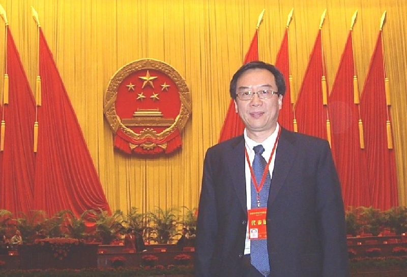
Prof. John Shi Wenzhong of Department of Land Surveying & Geo-Informatics of The Hong Kong Polytechnic University (PolyU) has been elected President of Technical Commission II for a four-year term from 2008 to 2012 at the Congress of the International Society for Photogrammetry and Remote Sensing (ISPRS) recently held in Beijing. This is the first time that a scientist from Hong Kong serves as a Technical Commission President since the Society’s inception in 1910.
ISPRS is an international, non-profit, non-governmental organization comprising 176 professional societies and national organizations from more than 120 countries. It is devoted to the development of international cooperation for the advancement of knowledge, research, development and education in photogrammetry, remote sensing and spatial information sciences for the well being of mankind and sustainability of the environment.
ISPRS carries out its scientific and technical work through eight Technical Commissions, each hosted by a member organization for a four-year term between Congresses. Prof. Shi, representing Hong Kong, was entrusted with leading the Technical Commission II, which addresses the fundamental issues of spatial data handling and geographic information science. Prof. Shi will take up the responsibilities of organising international working groups, arranging a major Commission symposium and selecting academic papers to be presented at the Congress.
“I am honoured and privileged to be given this opportunity to contribute to the mission of the Society. It is a recognition of academic leadership of researchers in Hong Kong and PolyU by the international community in the area of spatial information sciences,” said Prof. Shi.
An internationally acclaimed expert in Geographic Information Systems (GIS), Prof. Shi has developed a series of new mathematical models and improved solutions for modelling uncertainties in spatial data and spatial analyses. The breakthrough is considered setting the stage for the current research on uncertainty modelling in GIS.
The dynamic data models and mathematical analysis built upon his theory on spatial data quality and uncertainty can greatly improve the accuracy and quality of spatial data, such as remotely sensed imageries from satellite, thereby promoting the further advancement of GIS in both theory and practices, such as building high quality digital city.
A prolific researcher, Prof. Shi has authored 10 books, and published more than 350 research articles, including some 70 SCI papers. His theory is now included in the syllabus of many higher education institutions in China and designated as a major subject of study.
Prof. Shi has been awarded the 2007 State Natural Science Award (Second-class) by the State Council of China and bestowed with the China Science and Technology Progress Award in Surveying and Mapping (First-class) by the State of Bureau of Surveying and Mapping and Chinese Society for Geodesy, Photogrammetry and Cartography in 2005. He was also honoured with the ESRI Award for Best Scientific Paper in GIS (first-place) by American Society of Photogrammetry and Remote Sensing in 2006.
***

