
GeoAI is Changing Everything
From responding to disasters and combatting climate change, to keeping the global economy running.
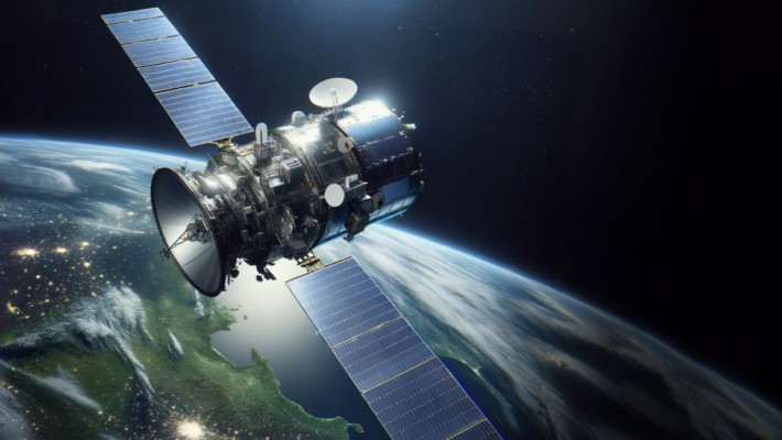
In 1972, the iconic “Blue Marble” photo taken by the crew of Apollo 17, fundamentally changed the way we think about our planet. Fast forward 50 years, and the flood of Earth observation (EO) data, coupled with dramatic advances in artificial intelligence, is transforming how the world does almost everything — from responding to disasters and combatting climate change, to keeping the global economy running smoothly.
Known as Geospatial Artificial Intelligence (GeoAI), this emerging field combines the vast amount of data received daily from satellites, aircraft, and ground-based sensors with robust computing and AI solutions. By uncovering hidden patterns and predicting trends, this fusion of technologies presents remarkable and transformative possibilities in numerous critical areas.
GeoAI can pinpoint connections between environmental factors and disease outbreaks, facilitating the creation of more efficient public health strategies. At the same time, it can make cities more liveable, by helping planners optimise infrastructure by forecasting population growth and movement patterns. GeoAI can also help emergency responders save lives by predicting potential disaster scenarios and providing best rescue routes and response strategies, well ahead of time.
The World Economic Forum believes that the integration of AI with cost effective, high-performance computing will revolutionise EO data analysis, in a similar way to how large language models (LLMs), such as ChatGPT, have transformed text processing. Businesses are keenly exploring the potential of GeoAI in driving growth, particularly in areas like carbon credits trade, improved logistics, efficient supply chain management, and precisely predicting and targeting consumer behaviour.
Harnessing the potential of GeoAI
PolyU is leading the way in unlocking the potential of GeoAI and spearheading its advancement, creativity, and acceptance. Professor Weng Qihao, the University’s Chair Professor of Geomatics and Artificial Intelligence founded the Research Centre for Artificial Intelligence in Geomatics (RCAIG), with the aim of establishing PolyU as an internationally recognised GeoAI research and development hub.
RCAIG concentrates on creating novel and inventive AI approaches and technologies for geomatics, focussing specifically on their implementation in urban areas.
“Earth observation is important as a guiding compass for understanding changes in the environment and society. Our research focuses on diverse fields, including geospatial big data and AI, remote sensing, ground-based sensors, navigation and positioning, surveying and geodesy, laser scanning and photogrammetry. These technologies play a crucial role in addressing and resolving key issues,” said Professor Weng, who was recently awarded the 2024 American Association of Geographers (AAG) Wilbanks Prize for Transformational Research in Geography, and the 2024 AAG Remote Sensing Specialty Group Lifetime Achievement Honor Award for his groundbreaking contributions in geography and remote sensing.
Professor Weng Qihao
Chair Professor of Geomatics and Artificial Intelligence, Department of Land Surveying and Geo-Informatics
Director of the Research Centre for Artificial Intelligence in Geomatics
Analysing urbanisation impacts
Cities are an obvious focal point for many aspects of human activities and progress. These include the development of safe, efficient, and economically viable urban infrastructures, environmental conservation, and mitigating the effects of climate change. GeoAI is perfectly placed to transform all these areas.
According to Professor Weng, GeoAI has a crucial role to play in increasing urban resilience and improving public health. “Satellite observations are invaluable tools that help us understand the impact of events, such as extreme heatwaves, and support informed decision-making. Real-time data acquisition also facilitates prompt action to challenges, like traffic congestion, air quality, natural disasters, population movement and urban land use monitoring,” he said.
GeoAI is already revolutionising building monitoring. By automatically learning thousands of parameters, such as size, shape, and colour, it can easily detect the appearance of illegal structures, identify disaster-damaged buildings, and estimate a building’s energy consumption.
RCAIG has now developed a model that can simulate the impact of changes in urban development using data from satellite imagery. “Characterising the historical pathways of urban area growth under different levels and pathways of urbanisation, our model captures the dynamics of urban sprawl more effectively and offers more detailed insights than traditional binary classification models – at regional and even global levels,” Professor Weng explained.
Tackling moving targets
GeoAI excels in addressing dynamic challenges like traffic congestion. The fusion of machine learning and deep learning enables rapid analysis of complex data. This unlocks a multitude of fresh opportunities, including the ultimate goal for contemporary highway managers — real-time traffic management.
By integrating diverse data types such as text, images, videos, and knowledge graphs, the longstanding aspirations of precise traffic flow predictions, automated route optimisation, proactive accident alerts, and efficient long-term traffic network planning become a genuine reality. By integrating smart traffic and smart city technologies, we can create a safer environment for pedestrians, particularly in vulnerable areas like school zones. By leveraging real-time data, connected systems, and intelligent infrastructure, cities can significantly reduce the risk of pedestrian accidents and enhance overall traffic safety.
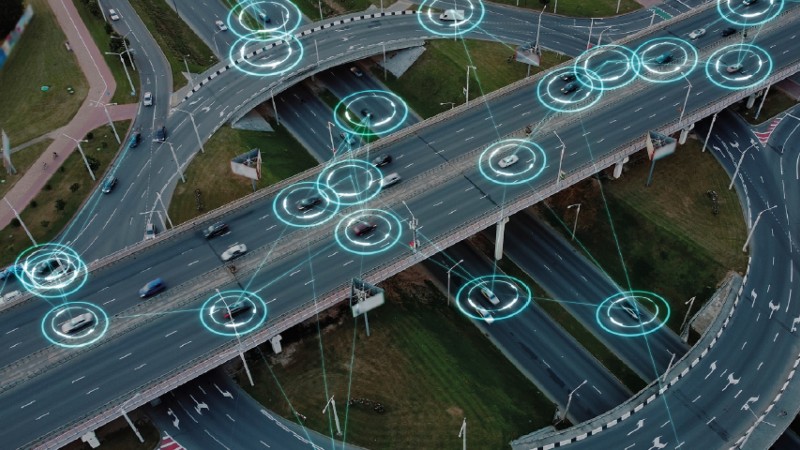
GeoAI makes real-time traffic management possible.
The RCAIG research team has put GeoAI theory into practice with the development of MAMR – a multi-agent order matching and vehicle repositioning solution that offers ride-hailing platforms a way to enhance the overall efficiency of their services.
“By assigning orders to available vehicles, and strategically deploying idle vehicles to regions with potentially high demand, operators can achieve dramatic results, including major reductions in passenger rejection rates and driver idle time,” said Professor Weng.
Addressing global environmental challenges
Climate is often cited as the world’s most pressing problem. However, the United Nations believes we face an even bigger challenge from interconnected environmental issues – climate change, nature and biodiversity loss, and pollution – which it calls The Triple Planetary Crisis. The organisation is also convinced that “AI can make a difference”.
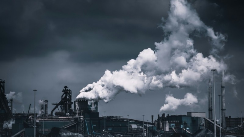
GeoAI could help mitigate the “Triple Planetary Crisis”.
Professor Weng agrees wholeheartedly. “GeoAI has the potential to revolutionise environmental monitoring, management, and decision-making by providing critical insights and predictions. As the field continues to evolve, we can expect to see even more innovative applications of GeoAI in environmental conservation and sustainability,” he said.
RCAIG’s research combines advanced AI techniques like deep neural networks, with remote sensing methods, to detect and track changes in habitats and deforestation patterns. Additionally, it is monitoring the crucial role that carbon uptake by vegetation plays in combating climate change, with the goal of developing effective mitigation strategies.
“Leveraging the latest geospatial technology and artificial intelligence, PolyU stands at the forefront of addressing global environmental change and societal challenges. Encompassing a wide spectrum of subjects in the fields of earth observations and geoinformatics, RCAIG is helping us to understand and address the impacts of extreme climate change,” Professor Weng concluded.
GeoAI has the potential to revolutionise environmental monitoring, management, and decision-making by providing critical insights and predictions. - Professor Weng Qihao

